


Reclamation Information Sharing Environment (RISE)
Search Catalog
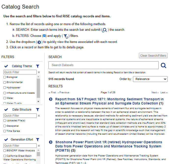
Use the catalog to search for datasets, see details about available data, and download data files.
Identify Data Sites
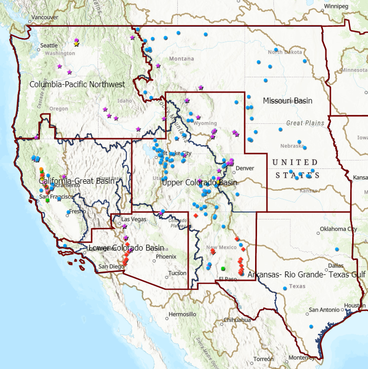
Use the map interface to browse data locations, interact with geospatial datasets, and access geospatial data services and downloads.
Query Time Series
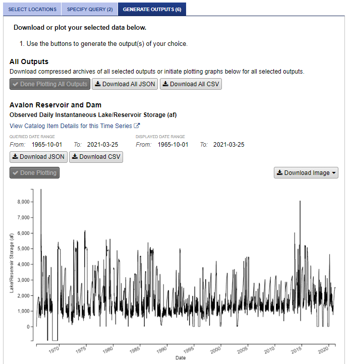
Use the time series query to select specific locations, parameters, and time periods to query, view time series plots, and download machine readable data.
Welcome to the Reclamation Information Sharing Environment!
RISE is a Reclamation open data system for viewing, accessing, and downloading Reclamation's water and water-related data.
With RISE you can:
- Find Reclamation data by searching the catalog or browsing the map .
- Query time series data for specific dates, parameters, and locations, then plot or download the data
- Obtain machine-readable data through an Application Programming Interface (API) for integration into tools and analyses.
- View geospatial data on a map , download it for offline analysis, or get a web service connection to add to your own map.
Please notify us about any errors, bugs, data requests, feature recommendations, or other feedback so we can improve the site.
Announcements
-
RISE Release 2.15.8
Sep 17, 2026RISE Release 2.15.8 was deployed on September 16, 2026. It was a minor release covering seven tickets, including two changes to the RISE Website, four changes to the RISE API, and two updates to the Data Administration UI. RISE Website changes included a change to the email address used to send contact form emails and updates to the Reservoir Conditions page to link to the Western Water Data Dashboard and remove references to a previous visualization that is being decommissioned. API changes included the addition of a response format parameter for all endpoints, an update to the results endpoint to prevent requests with no filters, a fix to the API documentation to display available values for parameters that were inadvertently hidden in a previous release, and an improvement to ensure API filters return only data associated with active Catalog Items. Data Administration UI updates included pre-upgrade configuration changes to prepare for Drupal 11 and environment changes to Yarn, Composer, and BC Math. See Release Notes for more details.
-
RISE Release 2.15.7.1
Jul 23, 2026RISE Release 2.15.7.1 was deployed on July 22, 2026. It was a minor release covering 9 tickets, including five front-end improvements and four Data Admin UI changes. Front-end changes included two updates to the download process for files from the Time Series Query page to avoid errors when downloading large CSV files and to make the download experience consistent for desktop and mobile devices. Other front-end updates corrected metadata tags for Location Details pages, fixed label and breadcrumb inconsistencies, improved elevation formatting for negative values, and restored the functionality of a button that had been broken in a previous release. Data Admin UI changes standardized timestamp storage to use UTC and added time zone support for date reporting, updated login templates to eliminate references to username and password login, added display of the active account name for masquerading users, and improved Active Directory synchronization logic for more reliable determination of entity status. See Release Notes for more details.
